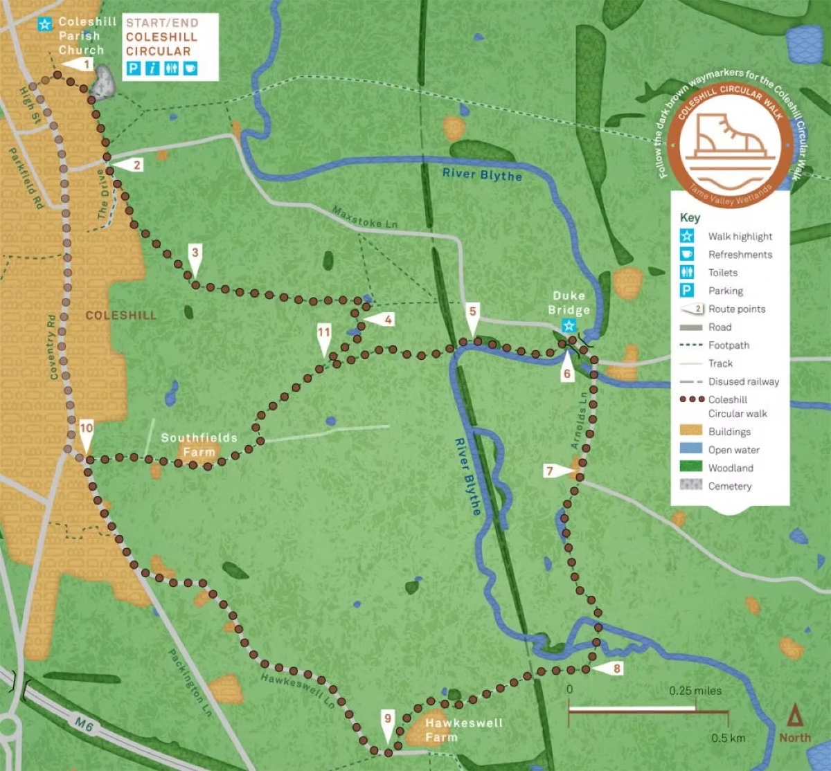
The Coleshill Heritage & Riverside Loop
A town-and-river loop from Springfield House through Coleshill High Street, the parish church, and the banks of the River Cole.
At a glance
- Start/end: Springfield House, Coleshill
- Distance: around 2.5 miles (4 km)
- Difficulty: Easy to moderate — uneven riverside paths and a steady climb back up the High Street
- Time: around 45 minutes
Phase 1 — Historic High Street
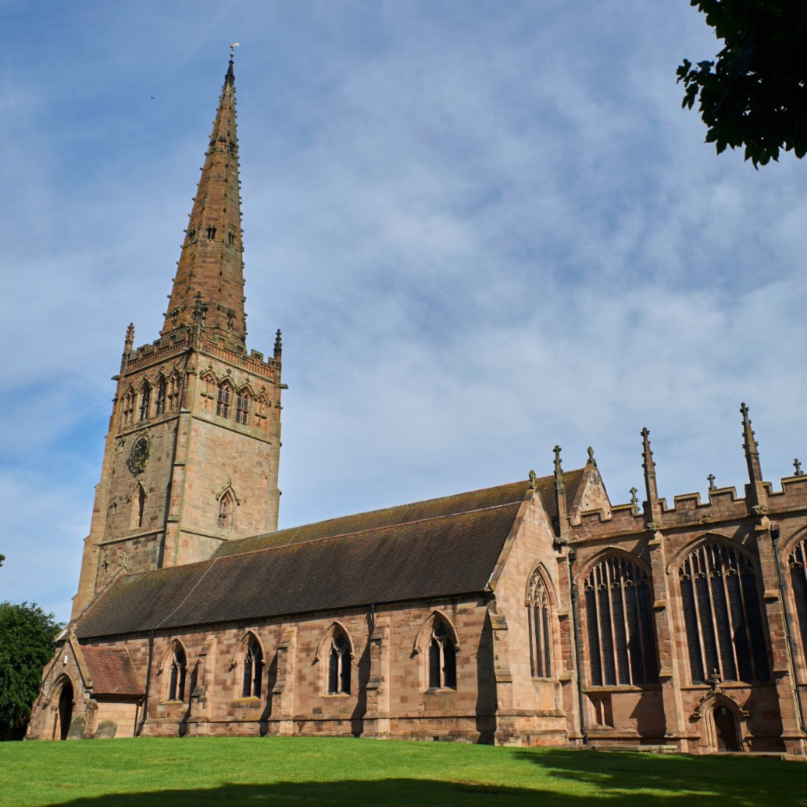
Exit Springfield House and turn right toward the town centre. Admire the Georgian architecture, the rare preserved pillory and stocks, and the 170-foot spire of St Peter and St Paul — a landmark since the 14th century.
Phase 2 — Into the valley
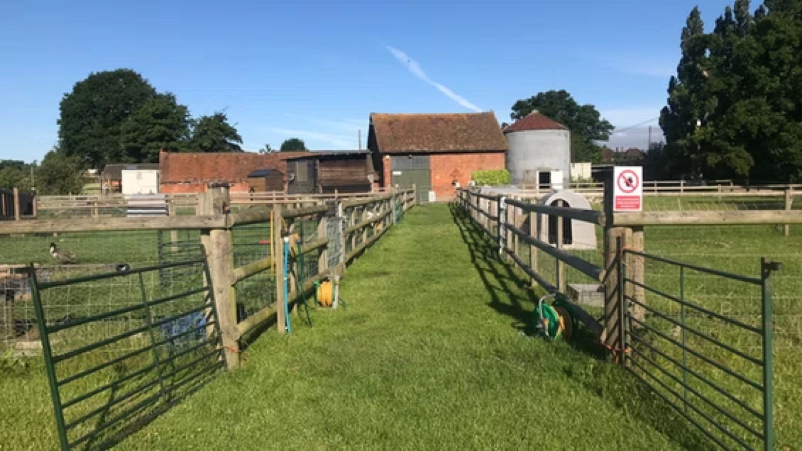
Continue past the church and turn right down Church Hill toward the River Cole. Cross the bridge and enter Cole End Park — a good spot to pause. Follow the meadow paths with the river on your right.
Phase 3 — Return ascent
Loop back east toward Old Coach Road. Coleshill was once a major coaching stop between London, Holyhead, and Chester — many High Street pubs were originally coaching inns. Finish with coffee or a pint at The Swan or The George and Dragon.
Walking tips
- Riverside paths can be muddy after rain — sturdy trainers or boots recommended
- High Street is fully accessible; river sections involve grass and uneven terrain
- Use designated crossings on busier sections of the High Street